Live Tornado Maps! Support Responders in an Emergency
Real-time tornado maps are an essential tool for emergency managers to respond to severe weather. HailTrace's team of meteorologists work around the clock to ensure that emergency responders have up-to-date information on the hardest hit areas.

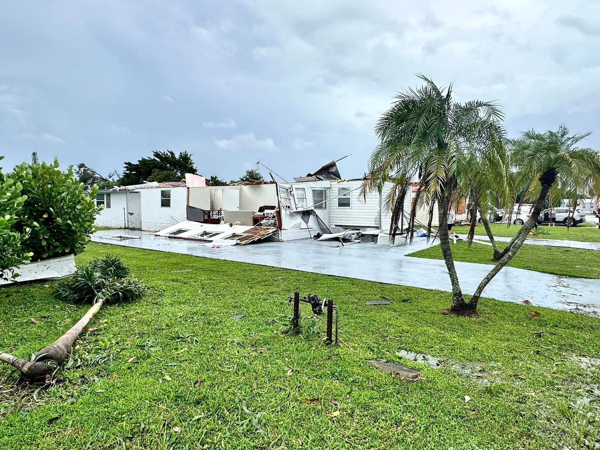
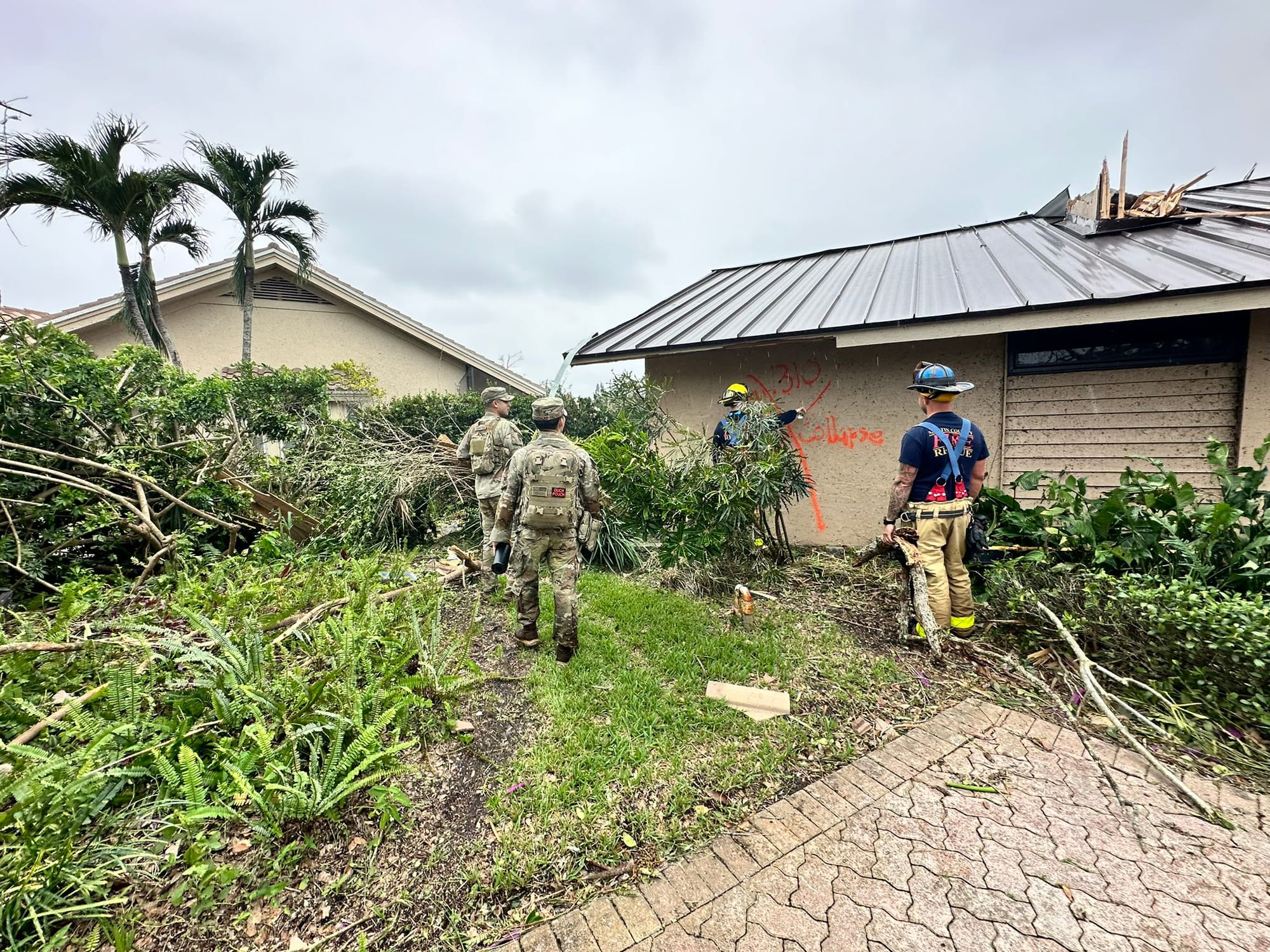
The tornado outbreak that accompanied Hurricane Milton's track across Florida on October 9th included over 40 verified spin-ups. The challenge posed by such a large volume of severe hazards is how to produce actionable tools for emergency responders during extreme weather events.

While the role of the National Weather Service is to provide timely warnings to the public regarding severe weather safety, HailTrace offers a real-time data tool for not only the insurance and restoration industries, but also for emergency management officials.
Emergency Managers Need Fast Data
The damage surveys depicted in the image above are after-the-fact data points created by NWS employees.
Although these surveys serve as the final word on tornado path and intensity, these swaths are often not available until days or even weeks after the severe weather event. Milton was no exception, with some damage paths not being available until late October.
Unfortunately, emergency managers cannot afford to wait weeks to see where damage has occurred; otherwise, they would have to make guesses as to where the damage was worst, potentially overlooking those areas most in need of life-saving aid.

HailTrace offers a solution to this dilemma.
While the NWS ensures public safety via tornado warnings, HailTrace's team of expert meteorologists map those tornadoes in real-time, accounting not only for the width of the tornado but also providing an estimate of its intensity.
These maps are an essential tool for emergency managers who need a clear, easy-to-reference map of the severe hazards impacting their region.
Using a tornado map, first responders can pinpoint those areas with the most damage, allowing them to deploy resources to the communities hardest hit by severe weather.
FEMA and SRP Use HailTrace's Tornado Data
FEMA itself maintains a contract with HailTrace to guarantee access to nationwide tornado maps.
As a government agency, FEMA is primarily concerned with public safety and the rebuilding of whole communities after disasters. Ensuring that critical resources like food, water, and shelter are in accessible locations is extremely important.
With HailTrace's tornado maps, FEMA can pinpoint which locales are most in need of aid and identify a suitable location to serve as their center of operations. The ability to target resources toward areas with the most damage is an indispensable tool for the emergency management process.
Strategic Response Partners is a private organization that, like FEMA, operates in the disaster response space. However, while FEMA focuses on public safety, SRP works to support organizations through the duration of natural disasters.
The tornado data that HailTrace offers is a crucial tool for SRP during their operations, not only for ensuring the safety of their team but also for informing their decisions as they support their own clients during extreme weather.
For FEMA, SRP, and other emergency management teams, tornado data is a critical resource in the decision-making process.
For more information about SRP, here is our interview with the company's founder, Steve Slepcevic.
Plan Ahead For The Next Tornado
Whether Hurricane Milton produces a tornado outbreak in Florida or a line of severe storms produces an EF-3 in Oklahoma City, emergency managers are seeking out the accurate, real-time tornado swaths that HailTrace offers.
Although hurricane season is winding down, the threat of tornadoes is an unfortunate reality, one that will only become more apparent when the spring storm season rolls back around.
The best course of action is to plan ahead, using HailTrace's array of tools to know just where a tornado strikes in real-time.
If you are interested in a hail map, wind map, or tornado map, head to HailTrace.com.
Now read 4 Reports to Find a Date of Loss and Close a Weather Claim Fast or Radar Down! Creating Accurate Hail Maps During Radar Outages

